

Few pieces of infrastructure shape land values like a new ring road. Around Bengaluru, that road is the Satellite Town Ring Road — the STRR. If you’re looking at land, a farm house or a villa plot in the north of the city, it’s worth understanding what it is and what it can (and can’t) do.
What the STRR is
The STRR is an outer ring highway that circles Bengaluru well beyond the city, linking its satellite towns — places like Doddaballapur, Devanahalli and Hoskote in the north and east. Its job is to let traffic move between these towns, and onto the national highways leaving Bengaluru, without going through the city.
It’s being built in sections, so different stretches open at different times. For the current status of any section, rely on official updates from the National Highways Authority of India (NHAI) — not on brochures, including ours.
Why ring roads move land values
Land prices follow access. When a stretch of countryside goes from “an hour of city traffic away” to “a few minutes from a ring highway,” three things tend to happen:
- Travel time drops for anyone living or working along the corridor.
- Logistics and industry follow, because moving goods around the city gets cheaper.
- Residential demand rises in the towns and countryside the road connects.
None of this is instant or guaranteed — infrastructure takes years, and prices depend on much more than one road. But it’s a key reason land in the north of Bengaluru is watched so closely.
Why North Bengaluru stands out
The STRR doesn’t arrive in isolation here. The north already has:
- Bengaluru International Airport at Devanahalli,
- the Devanahalli Business Park and the Aerospace Park & SEZ,
- the planned Aerotropolis / Airport City,
- and leisure anchors like Nandi Hills, Prestige Golfshire and JW Marriott.
A ring road that ties these together with Doddaballapur and the eastern towns strengthens a corridor that was already growing. We go deeper on the area in our Devanahalli property guide.
What it means for you as a buyer
- Look at access roads, not just the map. “Near the STRR” means little if the last few kilometres are poor. Drive it.
- Buy for use, not just speculation. The safest land purchases are ones you’d be happy owning even if infrastructure runs late.
- Verify the paperwork regardless. A great location never fixes a bad title — see our legal checklist.
One Wolf projects along the corridor
- Northern County — 38 fully fenced private farm houses on 6.5 acres, about 15 minutes from the STRR and 30 minutes from the airport, near Nandi Hills.
- Silver Ranches — a 30-acre gated villa estate in Doddaballapur, about 30 minutes from the airport, bordering the Nellakunte Forest Reserve.
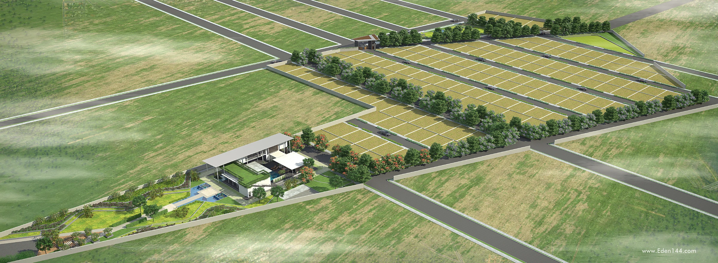
- Eden 144 — our 303-plot development in Devanahalli, now fully sold out: proof of how quickly well-located land in this corridor moves.
Drive times are approximate and vary with traffic and route.